Wells in
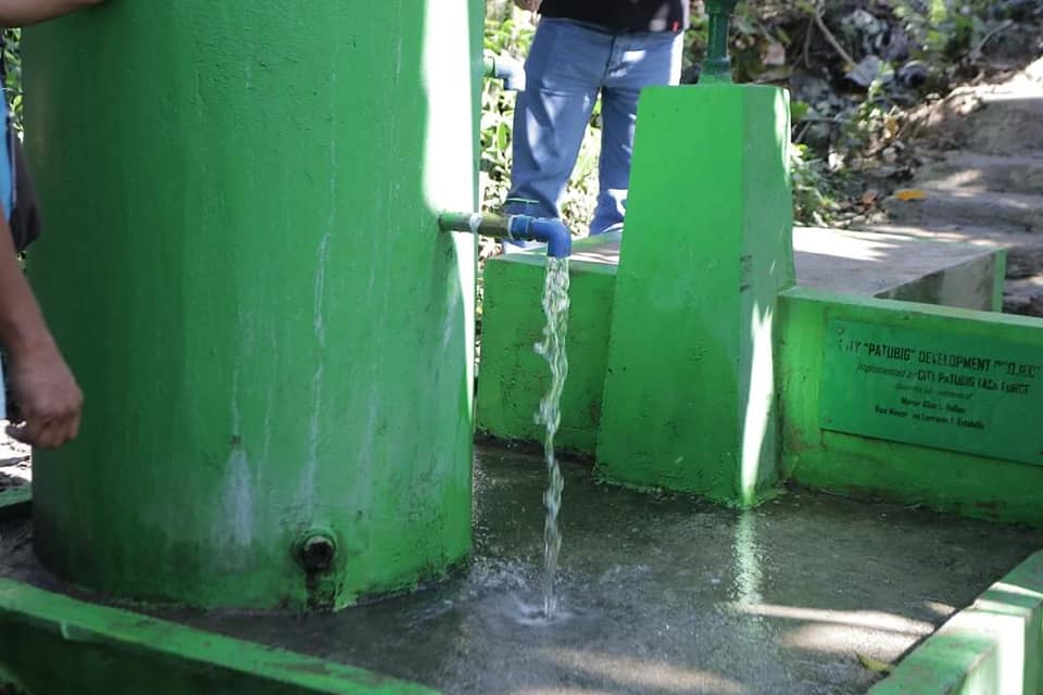
Tagum's generally flat terrain, with some rolling hills in the north, is bounded by the Hijo and Tagum Libuganon Rivers. The city has 23 barangays, nine urban and 14 rural. So far, 100 wells have been georeferenced, with 80% being dug wells, and their distribution is shown on the map.
Our IOT-based system constantly monitors and captures groundwater quality data from the sensor network.

About
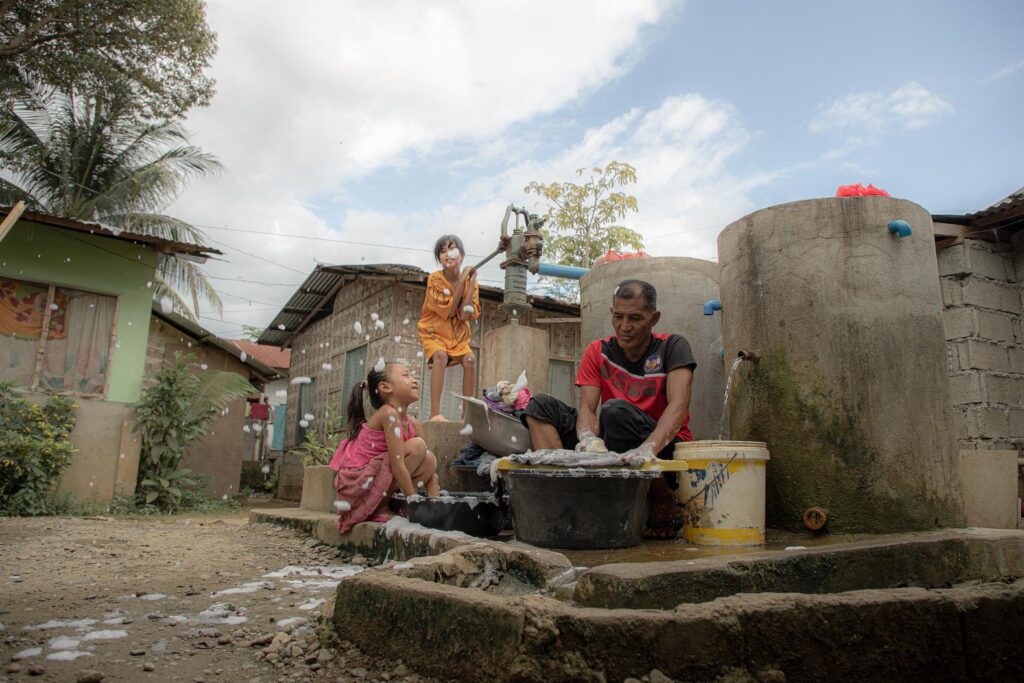
Atabay [a.tá.bay.] is the Bisaya word for "well." In the context of a community, an atabay is central to the daily lives of barangay residents, as water is essential for everyday activities. We named this project "Atabay" to symbolize community harmony and mutual support. Accessible Tubig Alang sa BaranggAY.
The project aims to address the gap in groundwater management by systematically mapping water wells in Tagum City using Geographic Information Systems (GIS) and remote sensing techniques.
The primary goal is to establish a foundational framework for groundwater resource management. Through field surveys, stakeholder engagement, and geospatial mapping, the study identifies well locations, charts their spatial distribution, and monitors water quality parameters.
The primary goal is to establish a foundational framework for groundwater resource management. Through field surveys, stakeholder engagement, and geospatial mapping, the study identifies well locations, charts their spatial distribution, and monitors water quality parameters.
Notice something wrong with a well in your barangay? Let us know so we can fix it quickly.